Research Programme: Transparent Ocean
Programme Lead: Professor Jinchang Ren
Supported By: Dr Yijun Yan & Mr Y Li
Funder/Sponsor: Chinese Academy of Sciences (CAS)
Project Status: Complete
Overview
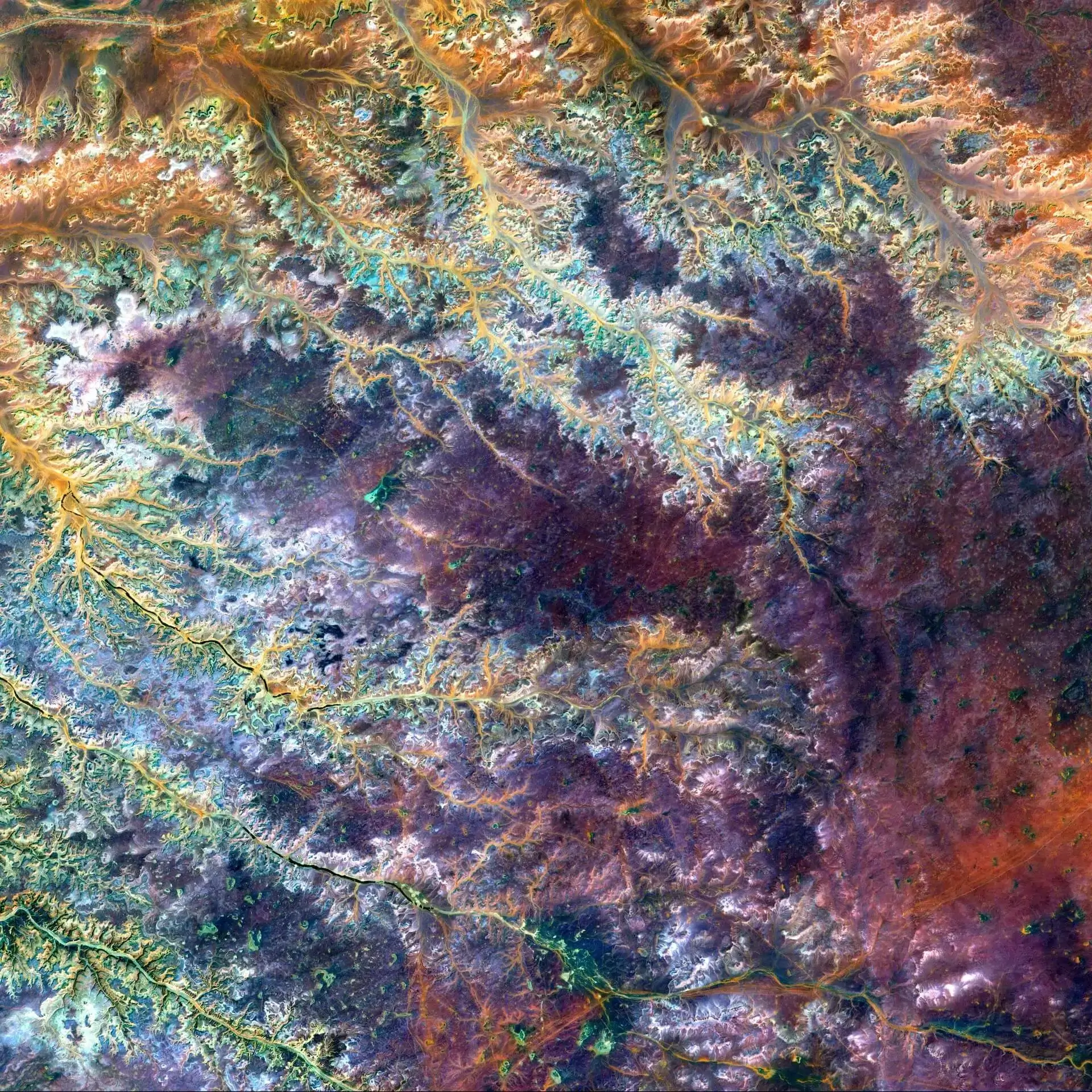
Hyperspectral imaging (HSI) and remote sensing have been widely applied in a large range of applications such as geological survey, industry, agriculture, disaster assessment and environmental monitoring, where data from UAVs and other platforms e.g. satellites can cover large areas and facilitate more accurate object detection and scene understanding. This project aims to develop novel and effective algorithms in HSI remote sensing, especially land-cover mapping/classification, change detection and anomaly detection. The collection of useful datasets will be a by-product for the purpose.
Motivation
Spectral image processing presents significant challenges due to the large amount of data generated by the many bands of information captured. The vast amounts of redundant information further exacerbate these difficulties. Moreover, spectral images require a different approach to processing and analysis compared to common image processing technologies, which may not be directly transferable. In addition, there is still a lot of room for research on the effect of spectral image analysis algorithms in unsupervised object classification.
Real-World Impact
For the research community, this project contributed to exploring new algorithms and techniques for more efficient and effective processing of spectral images, which can lead to more accurate and reliable analysis of HSI data. This can directly benefit researchers in various fields, including earth sciences, environmental monitoring, agriculture and more. In the real world, the development of advanced spectral image processing methods can have a significant impact on various industries. For example, in agriculture, the use of spectral imaging can help farmers monitor crop health, detect diseases and optimise crop yield. In the mining industry, spectral imaging can be used to detect minerals and other resources with greater accuracy. In environmental monitoring, spectral imaging can aid in the detection and prevention of natural disasters. By improving the accuracy and efficiency of spectral data analysis, spectral image processing can help to reduce costs, increase productivity and enhance decision-making across a range of industries.