Recently, the work of our Net Zero Operations Research Fellow, Eleanor MacLeod and Research Assistant, Joan Alza Santos was featured at the Marine Alliance for Science and Technology for Scotland (MASTS) Annual Science Meeting in Glasgow. At this event, Eleanor presented ongoing research relating to the Data for Net Zero (D4NZ) project.
In this article, we take a closer look at her research, specifically the Marine Environment Industrial Planning Application Work Package 6.
What is the Marine Environment Industrial Planning Application?
The Marine Environment Industrial Planning Application is a key component of the Data for Net Zero (D4NZ) project, funded by the Scottish Government through the Net Zero Technology Centre (NZTC) to transform the North Sea energy system. Its goal is to provide an interactive tool that can be used by decision-makers to inform the interactions between the commercial fishing sector and planned offshore developments. This tool will illustrate trade-offs that these decision-makers will need to balance as the offshore energy industry expands.
Spatial Fisheries Analysis: Evidencing Distribution of Fishing Activities Across the Marine Space
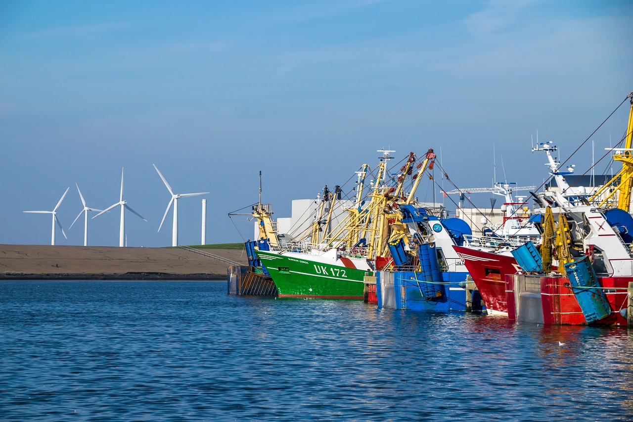
Spatial fisheries analysis involves the investigation of complex Vessel Monitoring Systems (VMS) data, which has been provided by the Scottish Government. This data provides information from fishing vessels at roughly two-hour intervals. Pings are identified as ‘fishing’ or ‘not fishing’ based on vessel characteristics such as speed. This data is connected to fishing logbook information (also provided by the Scottish Government) to give information such as effort, catch and value in different locations. Information at the ping level can be collated to create maps of spatial fishing distribution across UK waters.
Diving into the Details: Project Specifics
The National Subsea Centre is advancing its capabilities in marine science. Here’s what the Net Zero Operations team is currently working on:
Spatial Fisheries Analysis: The team has created spatial distribution maps documenting the intensity of fishing activity within UK waters and created outputs to document the potential impacts of planned offshore developments on different parts of the commercial fishing sector. The team has also investigated differing methods of defining fishing activities across different gear groups and plans to release this work as a publication in 2025.
Species Distribution: As part of this project, the D4NZ team has produced species distribution models using fisheries-independent survey data to track the distribution of key commercial species over time in relation to oceanographic variables.
Climate Modelling: The project has identified suitable climate models under different emissions scenarios and is about to apply these to the species distribution models to predict the future distribution of marine resources.
To discover more about how our Net Zero Operations team are solving real-world problems, view our dedicated Net Zero Operations webpage or Projects page.